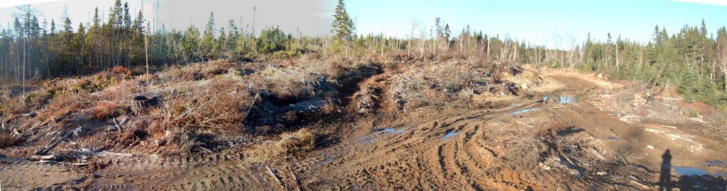
On a recent trip to Content Reach I took a few snaps of what is going on up there in the way of forestry operations. It appears that the government forestry department has decided to allow the road building to start without permits. The roads depicted in these photos are not set to be permitted until January 2007, but here they are in the fall of 2006. What gives?
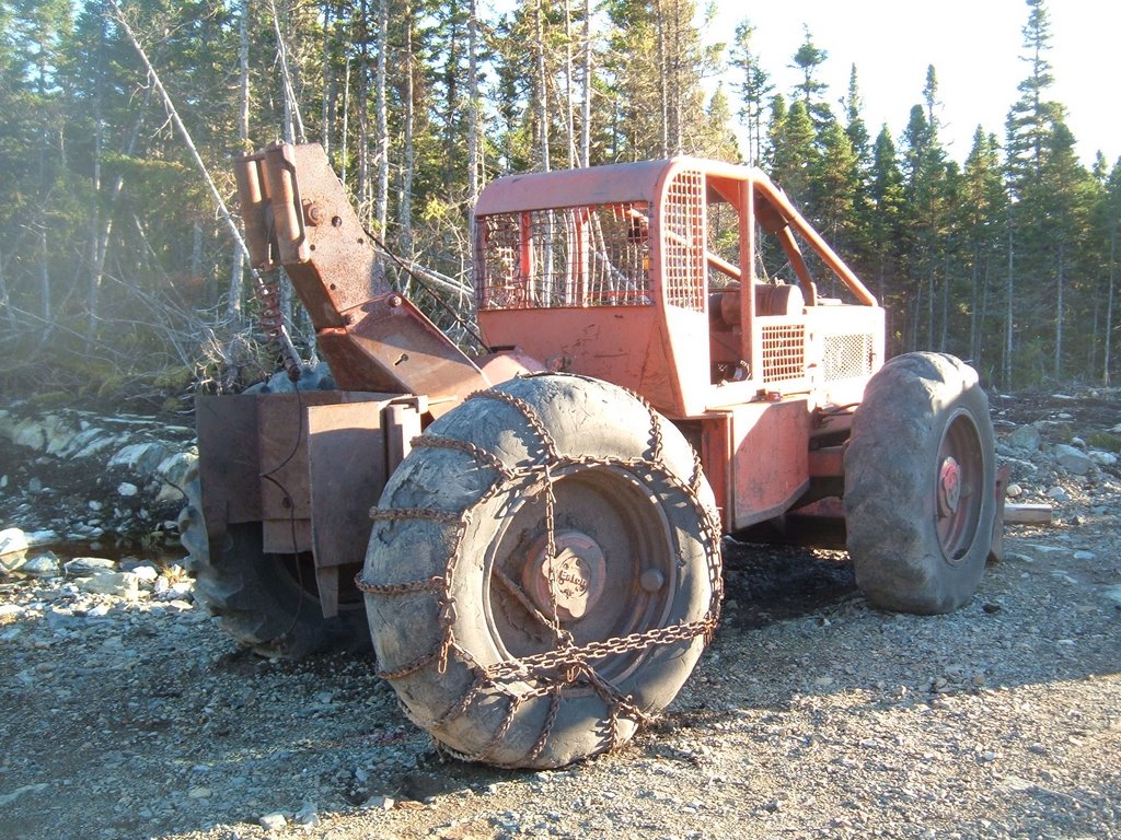
 There were also a few skidders (timber jacks) out around so I decided to take a few snaps of them. Notice the balding tires? That's why the soil is so torn up in this area.
I also took a few shots of an area that has been logged already to compare it to the area that has yet to be upturned by man. You can see the tracks through the bog area in the first photo, what will the second photo look like once they're done?


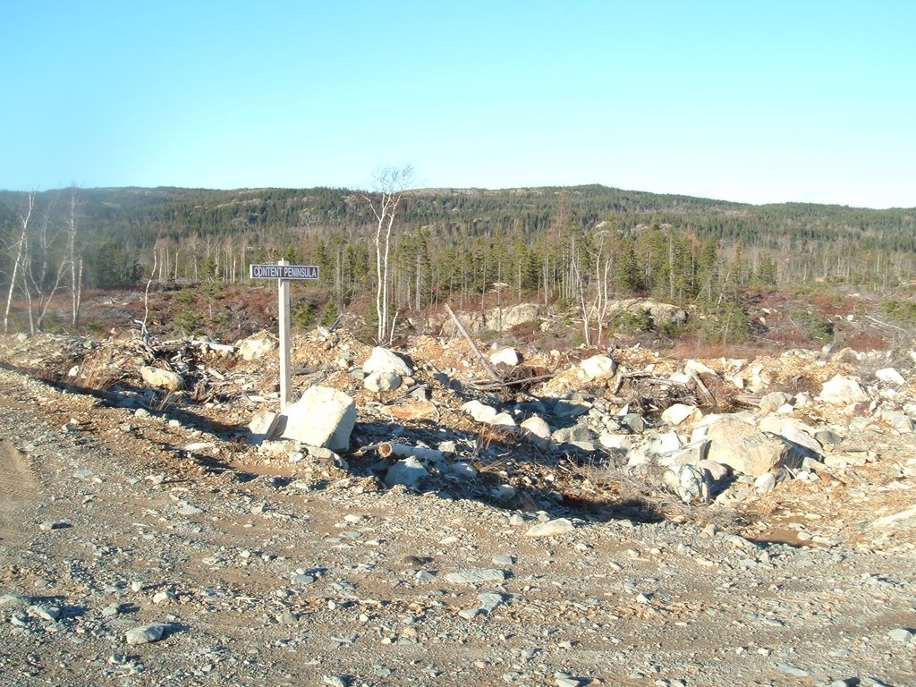
Not to be unfair, there are some nicer looking logged over areas out there, but I was not out there to showcase the forest industries good side. This is for the people of the NE Coast of Newfoundland to ponder. Is this what we want our forests to look like?